Students learn to explore layers of landscape
 First-year students explore the dimensions of the landscape of Loxley Valley through various media
Olaf Schroth
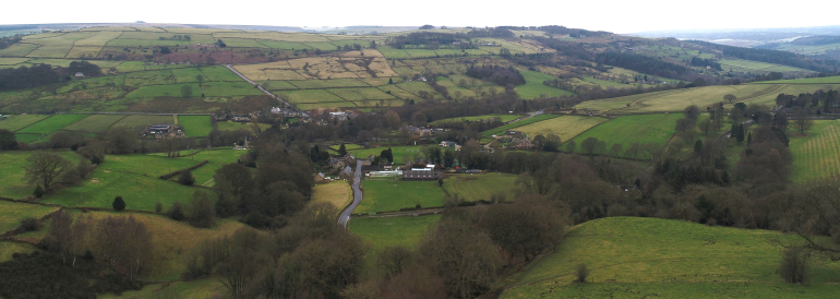
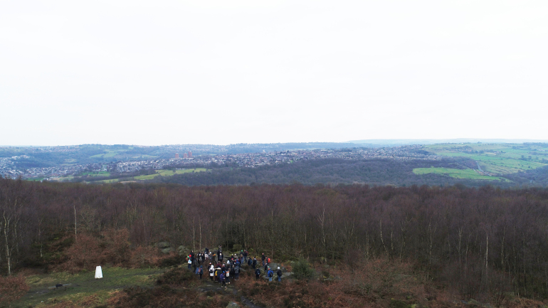
At the beginning of their second semester, our students explore the various dimensions of landscape through time, from history and geology to current planning policy and future landscape change. In addition to the lectures and workshops in our studio, students undertake two field trips to Loxley Valley near Sheffield. Learning Technologist Paul Buck supported them on site this year with 360’ photography and drone-based imagery (read the full story ).

As one student, Rachel Sherratt, wrote in her conclusions: “By observing and understanding the various influencing factors within the Loxley Valley, it can be seen that the interaction between these factors has had the most significant effect on the landscape. Each factor has influenced the landscape differently, but it is the interrelationship between the factors which has lead to the distinctive character of the valley.”
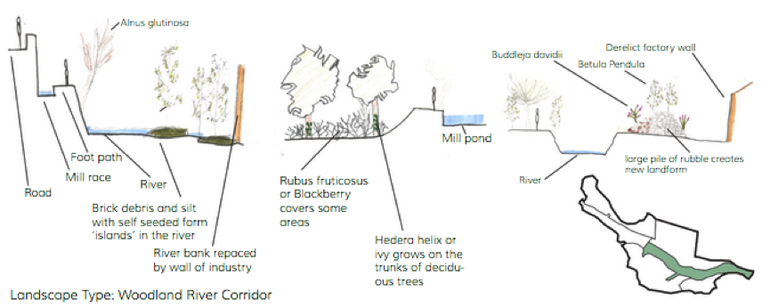
In presenting their work, students mixed various media and illustrations, including normal as well as 360’ and drone-based photography, with drawings (example below) and paintings, as well as maps based on Ordnance Survey and Environment Agency data.

This year, new approaches were taken in allowing the submission of posters, websites and movies instead of a written report. Particularly interesting in the context of landscape planning is the tool StoryMaps by ESRI, the same company that is distributing the Geospatial Information System (GIS) ArcGIS. Storymaps allows users to integrate data-driven maps directly from ArcGIS and to link them with various multimedia sources.
The following links give an idea of the range of creative media used by our students to explore, describe and analyse the various dimensions of landscape in Loxley Valley.
Loxley Valley: The Changing Landscape, by Wong Kwan Wing
Layers shaping the landscape and character of Loxley Valley by Wing S Yuen
Landscape Character Assessment of Loxley Valley by Andy Solaini
Getting kids involved in nature is so important. It can help with behavioral problems and much more
LikeLike